
Attica topographic map
Interactive map
Click on the map to display elevation.
About this map
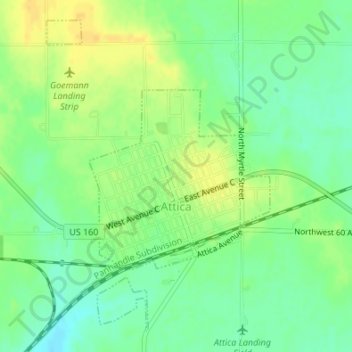
Name: Attica topographic map, elevation, terrain.
Location: Attica, Harper County, Kansas, United States of America (37.23182 -98.23923 37.25570 -98.21770)
Average elevation: 445 m
Minimum elevation: 432 m
Maximum elevation: 457 m