
Mollens (VS) topographic map
Interactive map
Click on the map to display elevation.
About this map
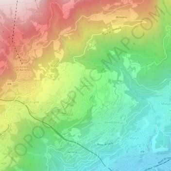
Name: Mollens (VS) topographic map, elevation, terrain.
Location: Mollens (VS), Mollens, Sierre, Valais/Wallis, 3974, Switzerland (46.29538 7.50011 46.33538 7.54011)
Average elevation: 1,137 m
Minimum elevation: 539 m
Maximum elevation: 2,008 m