
Uhre topographic map
Interactive map
Click on the map to display elevation.
About this map
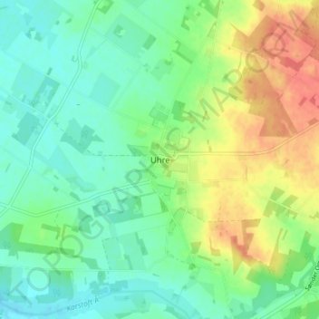
Name: Uhre topographic map, elevation, terrain.
Location: Uhre, Ikast-Brande Municipality, Central Denmark Region, Denmark (55.91109 9.03132 55.95109 9.07132)
Average elevation: 51 m
Minimum elevation: 33 m
Maximum elevation: 80 m