
Wayland topographic map
Interactive map
Click on the map to display elevation.
About this map
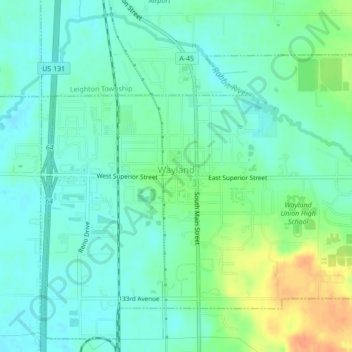
Name: Wayland topographic map, elevation, terrain.
Location: Wayland, Allegan County, Michigan, United States of America (42.65933 -85.66181 42.68851 -85.61884)
Average elevation: 233 m
Minimum elevation: 220 m
Maximum elevation: 262 m