
Champaner topographic map
Interactive map
Click on the map to display elevation.
About this map
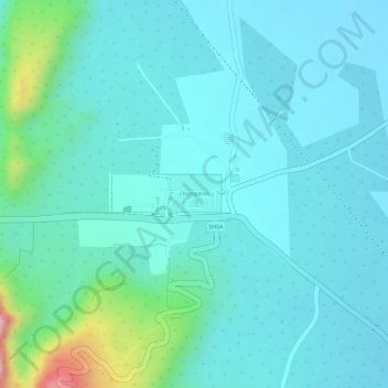
Name: Champaner topographic map, elevation, terrain.
Location: Champaner, Halol Taluka, Panch Mahal District, Gujarat, India (22.48338 73.53232 22.48613 73.53642)
Average elevation: 173 m
Minimum elevation: 129 m
Maximum elevation: 377 m
Other topographic maps
Click on a map to view its topography, its elevation and its terrain.
Halol
India > Gujarat > Halol Taluka
Halol, Halol Taluka, Panch Mahal District, Gujarat, 389350, India
Average elevation: 107 m