
Matsubara topographic map
Interactive map
Click on the map to display elevation.
About this map
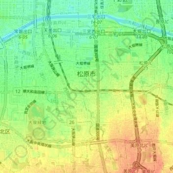
Name: Matsubara topographic map, elevation, terrain.
Location: Matsubara, Osaka Prefecture, Japan (34.55381 135.52100 34.59945 135.58576)
Average elevation: 22 m
Minimum elevation: 1 m
Maximum elevation: 45 m