
Ban Pueng Klueng topographic map
Interactive map
Click on the map to display elevation.
About this map
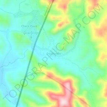
Name: Ban Pueng Klueng topographic map, elevation, terrain.
Location: Ban Pueng Klueng, Tak Province, Thailand (15.77608 98.56393 15.81608 98.60393)
Average elevation: 201 m
Minimum elevation: 93 m
Maximum elevation: 446 m