
Dan Makham Tia topographic map
Interactive map
Click on the map to display elevation.
About this map
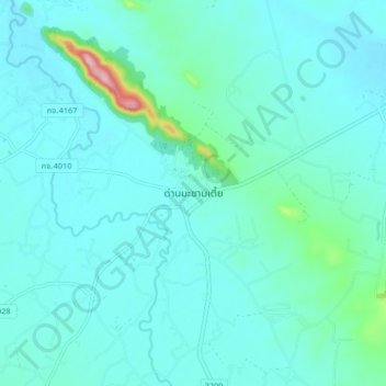
Name: Dan Makham Tia topographic map, elevation, terrain.
Location: Dan Makham Tia, Kanchanaburi Province, Thailand (13.80963 99.36937 13.88963 99.44937)
Average elevation: 61 m
Minimum elevation: 33 m
Maximum elevation: 259 m