
Preston topographic map
Interactive map
Click on the map to display elevation.
About this map
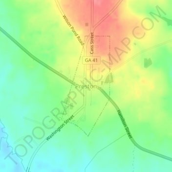
Name: Preston topographic map, elevation, terrain.
Location: Preston, Webster County, Georgia, United States (32.05814 -84.54200 32.07388 -84.53304)
Average elevation: 132 m
Minimum elevation: 100 m
Maximum elevation: 175 m