
Moy Burn topographic map
Interactive map
Click on the map to display elevation.
About this map
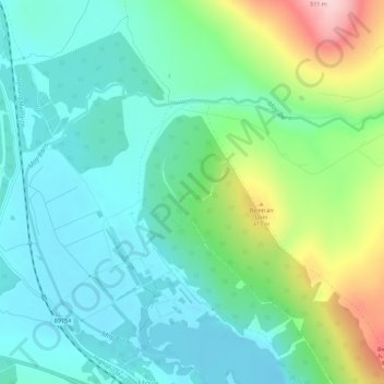
Name: Moy Burn topographic map, elevation, terrain.
Location: Moy Burn, Moy, Highland, Scotland, IV13 7YF, United Kingdom (57.38974 -4.06909 57.40707 -4.01193)
Average elevation: 328 m
Minimum elevation: 265 m
Maximum elevation: 503 m
Other topographic maps
Click on a map to view its topography, its elevation and its terrain.