
Platoro topographic map
Interactive map
Click on the map to display elevation.
About this map
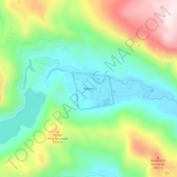
Name: Platoro topographic map, elevation, terrain.
Location: Platoro, Conejos County, Colorado, United States (37.33195 -106.55281 37.37195 -106.51281)
Average elevation: 3,206 m
Minimum elevation: 2,985 m
Maximum elevation: 3,604 m