
Centre topographic map
Interactive map
Click on the map to display elevation.
About this map
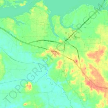
Name: Centre topographic map, elevation, terrain.
Location: Centre, Cherokee County, Alabama, United States (34.12233 -85.74820 34.19192 -85.62756)
Average elevation: 177 m
Minimum elevation: 157 m
Maximum elevation: 230 m