
Jackson topographic map
Interactive map
Click on the map to display elevation.
About this map
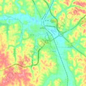
Name: Jackson topographic map, elevation, terrain.
Location: Jackson, Jackson County, Ohio, United States (39.00627 -82.70694 39.06690 -82.59495)
Average elevation: 230 m
Minimum elevation: 190 m
Maximum elevation: 285 m