
St. Day topographic map
Interactive map
Click on the map to display elevation.
About this map
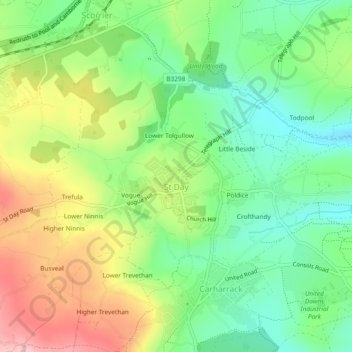
Name: St. Day topographic map, elevation, terrain.
Location: St. Day, Cornwall, England, United Kingdom (50.22518 -5.21678 50.25517 -5.17727)
Average elevation: 115 m
Minimum elevation: 49 m
Maximum elevation: 210 m
Other topographic maps
Click on a map to view its topography, its elevation and its terrain.