
Churchill topographic map
Interactive map
Click on the map to display elevation.
About this map
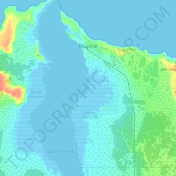
Name: Churchill topographic map, elevation, terrain.
Location: Churchill, Manitoba, Canada (58.70136 -94.21339 58.79048 -94.02399)
Average elevation: 5 m
Minimum elevation: -2 m
Maximum elevation: 40 m