
Penelope topographic map
Interactive map
Click on the map to display elevation.
About this map
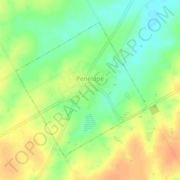
Name: Penelope topographic map, elevation, terrain.
Location: Penelope, Hill County, Texas, 76676, United States (31.84816 -96.93978 31.86861 -96.91650)
Average elevation: 170 m
Minimum elevation: 151 m
Maximum elevation: 188 m