
Jewell topographic map
Interactive map
Click on the map to display elevation.
About this map
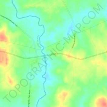
Name: Jewell topographic map, elevation, terrain.
Location: Jewell, Warren County, Georgia, 31045, United States (33.27626 -82.79736 33.31626 -82.75736)
Average elevation: 125 m
Minimum elevation: 103 m
Maximum elevation: 160 m