
Gastonia topographic map
Interactive map
Click on the map to display elevation.
About this map
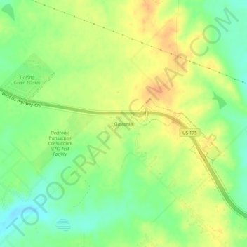
Name: Gastonia topographic map, elevation, terrain.
Location: Gastonia, Kaufman County, Texas, 75114, United States (32.59180 -96.42248 32.63180 -96.38248)
Average elevation: 134 m
Minimum elevation: 115 m
Maximum elevation: 150 m