
Johns Creek topographic map
Interactive map
Click on the map to display elevation.
About this map
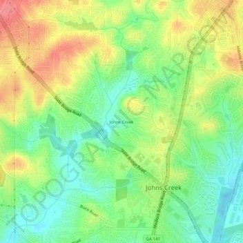
Name: Johns Creek topographic map, elevation, terrain.
Location: Johns Creek, Fulton County, Georgia, 30097, United States (34.00893 -84.21858 34.04893 -84.17858)
Average elevation: 305 m
Minimum elevation: 269 m
Maximum elevation: 351 m