
Schulter topographic map
Interactive map
Click on the map to display elevation.
About this map
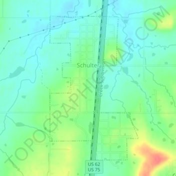
Name: Schulter topographic map, elevation, terrain.
Location: Schulter, Okmulgee County, Oklahoma, 74460, United States (35.49996 -95.96391 35.52209 -95.94715)
Average elevation: 211 m
Minimum elevation: 193 m
Maximum elevation: 252 m