
Moran topographic map
Interactive map
Click on the map to display elevation.
About this map
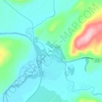
Name: Moran topographic map, elevation, terrain.
Location: Moran, Teton County, Wyoming, United States (43.82173 -110.52798 43.86173 -110.48798)
Average elevation: 2,088 m
Minimum elevation: 2,041 m
Maximum elevation: 2,260 m