
Lochaline topographic map
Interactive map
Click on the map to display elevation.
About this map
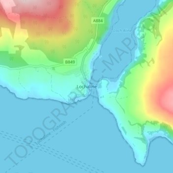
Name: Lochaline topographic map, elevation, terrain.
Location: Lochaline, Highland, Scotland, PA80 5AD, United Kingdom (56.51614 -5.79690 56.55614 -5.75690)
Average elevation: 61 m
Minimum elevation: -2 m
Maximum elevation: 287 m