
Dunellen topographic map
Interactive map
Click on the map to display elevation.
About this map
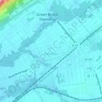
Name: Dunellen topographic map, elevation, terrain.
Location: Dunellen, Middlesex County, New Jersey, United States (40.58073 -74.47809 40.59925 -74.45232)
Average elevation: 21 m
Minimum elevation: 11 m
Maximum elevation: 142 m