
Jefferson topographic map
Interactive map
Click on the map to display elevation.
About this map
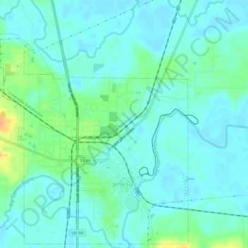
Name: Jefferson topographic map, elevation, terrain.
Location: Jefferson, Marion County, Texas, 75657, United States (32.74675 -94.38353 32.78899 -94.33175)
Average elevation: 62 m
Minimum elevation: 53 m
Maximum elevation: 89 m