
Ban Nam Dip topographic map
Interactive map
Click on the map to display elevation.
About this map
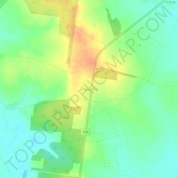
Name: Ban Nam Dip topographic map, elevation, terrain.
Location: Ban Nam Dip, Nong Pling, Kamphaeng Phet Province, Thailand (16.56239 99.49013 16.60239 99.53013)
Average elevation: 94 m
Minimum elevation: 77 m
Maximum elevation: 116 m