
Warden topographic map
Interactive map
Click on the map to display elevation.
About this map
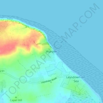
Name: Warden topographic map, elevation, terrain.
Location: Warden, Kent, South East, England, ME12 4PE, United Kingdom (51.38854 0.88711 51.42854 0.92711)
Average elevation: 10 m
Minimum elevation: -1 m
Maximum elevation: 61 m