
Aneto topographic map
Interactive map
Click on the map to display elevation.
About this map
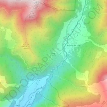
Name: Aneto topographic map, elevation, terrain.
Location: Aneto, La Ribagorza, Huesca, Aragon, Spain (42.53440 0.72285 42.57440 0.76285)
Average elevation: 1,603 m
Minimum elevation: 1,054 m
Maximum elevation: 2,415 m