
Cranbrook Hill topographic map
Interactive map
Click on the map to display elevation.
About this map
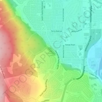
Name: Cranbrook Hill topographic map, elevation, terrain.
Average elevation: 644 m
Minimum elevation: 561 m
Maximum elevation: 780 m
Other topographic maps
Click on a map to view its topography, its elevation and its terrain.
Nechako River
Canada > British Columbia > Prince George
Nechako River, Prince George, Regional District of Fraser-Fort George, British Columbia, V2M 3C6, Canada
Average elevation: 605 m