
Gouna topographic map
Interactive map
Click on the map to display elevation.
About this map
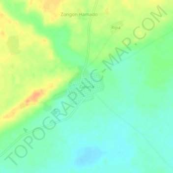
Name: Gouna topographic map, elevation, terrain.
Location: Gouna, Mirriah, Zinder Region, Niger (13.56275 9.10557 13.60275 9.14557)
Average elevation: 408 m
Minimum elevation: 394 m
Maximum elevation: 427 m
Other topographic maps
Click on a map to view its topography, its elevation and its terrain.