
Mevaseret Zion topographic map
Interactive map
Click on the map to display elevation.
About this map
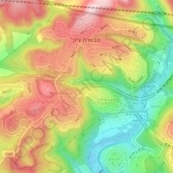
Name: Mevaseret Zion topographic map, elevation, terrain.
Location: Mevaseret Zion, Jerusalem District, Israel (31.78135 35.13244 31.81196 35.17171)
Average elevation: 683 m
Minimum elevation: 541 m
Maximum elevation: 816 m