
Lake Ozark topographic map
Interactive map
Click on the map to display elevation.
About this map
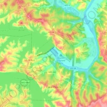
Name: Lake Ozark topographic map, elevation, terrain.
Location: Lake Ozark, Miller County, Missouri, United States (38.17074 -92.67241 38.23088 -92.58711)
Average elevation: 213 m
Minimum elevation: 167 m
Maximum elevation: 272 m
Other topographic maps
Click on a map to view its topography, its elevation and its terrain.