
Tajrish City topographic map
Interactive map
Click on the map to display elevation.
About this map
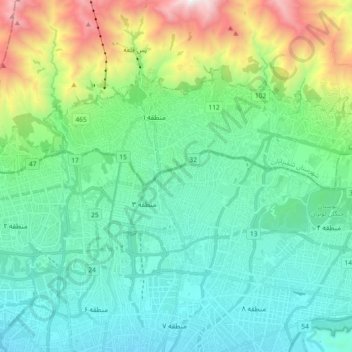
Name: Tajrish City topographic map, elevation, terrain.
Location: Tajrish City, Shemiranat County, Tehran Province, Iran (35.77730 51.33098 35.82847 51.53920)
Average elevation: 1,932 m
Minimum elevation: 1,240 m
Maximum elevation: 3,951 m