
Guder topographic map
Interactive map
Click on the map to display elevation.
About this map
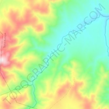
Name: Guder topographic map, elevation, terrain.
Location: Guder, Ambo, West Shewa, Oromia Region, Ethiopia (8.87826 37.66345 8.92977 37.73362)
Average elevation: 2,320 m
Minimum elevation: 2,045 m
Maximum elevation: 2,792 m