
Loriscota topographic map
Interactive map
Click on the map to display elevation.
About this map
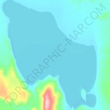
Name: Loriscota topographic map, elevation, terrain.
Location: Loriscota, PU-132, Santa Rosa, El Collao, Moquegua, Peru (-16.91071 -70.07405 -16.83482 -70.00624)
Average elevation: 4,580 m
Minimum elevation: 4,552 m
Maximum elevation: 4,801 m