
Panjgur topographic map
Interactive map
Click on the map to display elevation.
About this map
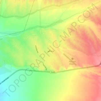
Name: Panjgur topographic map, elevation, terrain.
Location: Panjgur, Panjgur District, Balochistan, Pakistan (26.92161 64.07533 27.00161 64.15533)
Average elevation: 984 m
Minimum elevation: 945 m
Maximum elevation: 1,019 m