
Pitas topographic map
Interactive map
Click on the map to display elevation.
About this map
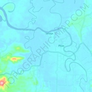
Name: Pitas topographic map, elevation, terrain.
Location: Pitas, Kudat Division, Sabah, Malaysia (6.69032 117.01437 6.77032 117.09437)
Average elevation: 9 m
Minimum elevation: -3 m
Maximum elevation: 120 m
Other topographic maps
Click on a map to view its topography, its elevation and its terrain.