
Barton County topographic map
Interactive map
Click on the map to display elevation.
About this map
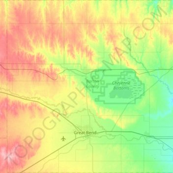
Name: Barton County topographic map, elevation, terrain.
Location: Barton County, Kansas, United States (38.26079 -99.03343 38.69692 -98.47951)
Average elevation: 578 m
Minimum elevation: 532 m
Maximum elevation: 651 m