
Ban Sang topographic map
Interactive map
Click on the map to display elevation.
About this map
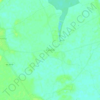
Name: Ban Sang topographic map, elevation, terrain.
Location: Ban Sang, Roi Et Province, Thailand (16.05148 103.84358 16.09148 103.88358)
Average elevation: 132 m
Minimum elevation: 127 m
Maximum elevation: 138 m
Other topographic maps
Click on a map to view its topography, its elevation and its terrain.
Ban Sang
Thailand > Roi Et Province > Ban Sang
Ban Sang, Roi Et Province, Thailand
Average elevation: 153 m