
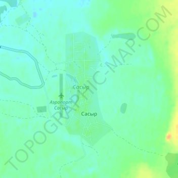
Сасыр topographic map
Interactive map
Click on the map to display elevation.
About this map
Name: Сасыр topographic map, elevation, terrain.
Average elevation: 588 m
Minimum elevation: 580 m
Maximum elevation: 608 m
Other topographic maps
Click on a map to view its topography, its elevation and its terrain.
Улахан-Чистайский национальный наслег
Russia > Sakha Republic > Momsky Ulus
Улахан-Чистайский национальный наслег, Momsky Ulus, Sakha Republic, Far Eastern Federal District, 678863, Russia
Average elevation: 714 m