
Burnbank Tyre Ponds topographic map
Interactive map
Click on the map to display elevation.
About this map
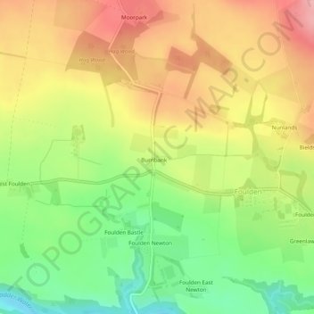
Name: Burnbank Tyre Ponds topographic map, elevation, terrain.
Average elevation: 91 m
Minimum elevation: 21 m
Maximum elevation: 158 m
Other topographic maps
Click on a map to view its topography, its elevation and its terrain.
Burnbank
United Kingdom > Scotland > Burnbank
Burnbank, Scottish Borders, Scotland, TD15 1UJ, United Kingdom
Average elevation: 94 m