
Chojnice topographic map
Interactive map
Click on the map to display elevation.
About this map
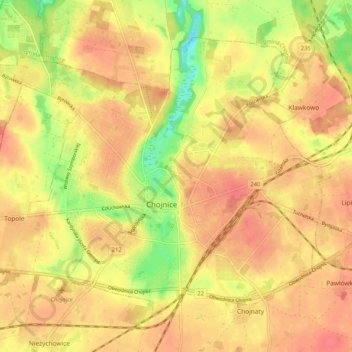
Name: Chojnice topographic map, elevation, terrain.
Location: Chojnice, Chojnice County, Pomeranian Voivodeship, Poland (53.67612 17.50914 53.72382 17.61119)
Average elevation: 165 m
Minimum elevation: 131 m
Maximum elevation: 181 m