
Ethan topographic map
Interactive map
Click on the map to display elevation.
About this map
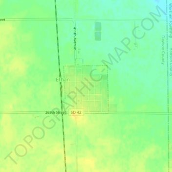
Name: Ethan topographic map, elevation, terrain.
Location: Ethan, Davison County, South Dakota, USA (43.54246 -97.98795 43.55102 -97.97823)
Average elevation: 409 m
Minimum elevation: 397 m
Maximum elevation: 419 m