
Rossa topographic map
Interactive map
Click on the map to display elevation.
About this map
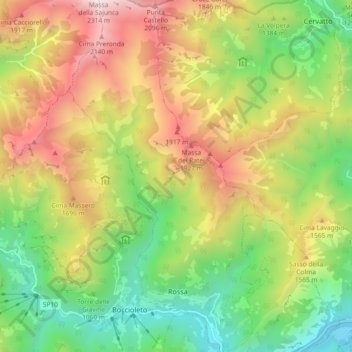
Name: Rossa topographic map, elevation, terrain.
Location: Rossa, VC, Piemonte, Italia (45.82253 8.09617 45.88677 8.14714)
Average elevation: 1,286 m
Minimum elevation: 516 m
Maximum elevation: 2,310 m