
Harikandeh topographic map
Interactive map
Click on the map to display elevation.
About this map
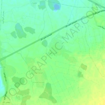
Name: Harikandeh topographic map, elevation, terrain.
Location: Harikandeh, بخش مرکزی, Babol County, Mazandaran Province, Iran (36.47217 52.69738 36.51217 52.73738)
Average elevation: 11 m
Minimum elevation: -5 m
Maximum elevation: 22 m