
East St. Louis topographic map
Interactive map
Click on the map to display elevation.
About this map
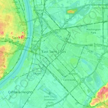
Name: East St. Louis topographic map, elevation, terrain.
Location: East St. Louis, Saint Clair County, Illinois, United States (38.57849 -90.18672 38.64282 -90.04174)
Average elevation: 131 m
Minimum elevation: 111 m
Maximum elevation: 183 m
Other topographic maps
Click on a map to view its topography, its elevation and its terrain.