
Stannon Stone Circle topographic map
Interactive map
Click on the map to display elevation.
About this map
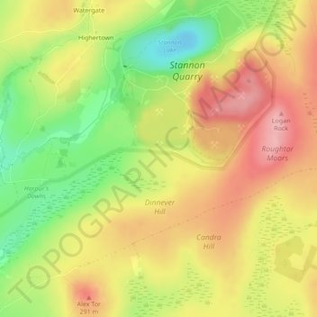
Name: Stannon Stone Circle topographic map, elevation, terrain.
Average elevation: 251 m
Minimum elevation: 181 m
Maximum elevation: 308 m
Other topographic maps
Click on a map to view its topography, its elevation and its terrain.
Advent
United Kingdom > England > Pencarrow
Advent, Pencarrow, Cornwall, South West England, England, United Kingdom
Average elevation: 254 m