
Rutland Water topographic map
Interactive map
Click on the map to display elevation.
About this map
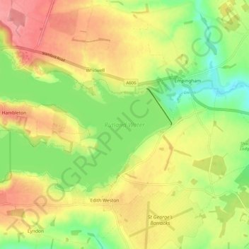
Name: Rutland Water topographic map, elevation, terrain.
Location: Rutland Water, Hambleton, Rutland, England, United Kingdom (52.63744 -0.70435 52.67388 -0.60345)
Average elevation: 95 m
Minimum elevation: 46 m
Maximum elevation: 144 m
Rutland trails, hiking, mountain biking, running and outdoor activities