
Lanner topographic map
Interactive map
Click on the map to display elevation.
About this map
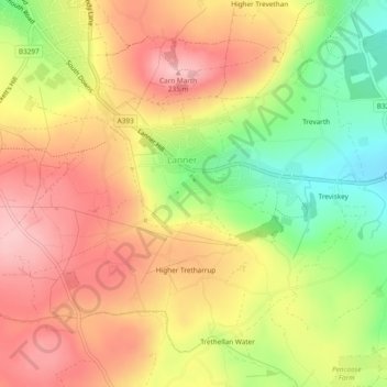
Name: Lanner topographic map, elevation, terrain.
Location: Lanner, Cornwall, England, United Kingdom (50.20135 -5.22910 50.22612 -5.18175)
Average elevation: 162 m
Minimum elevation: 67 m
Maximum elevation: 235 m