
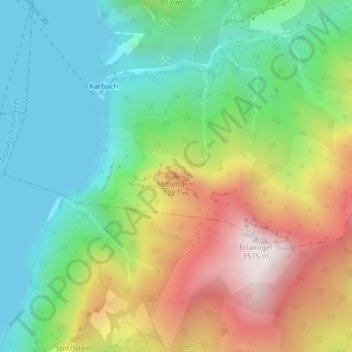
Rötelstein topographic map
Interactive map
Click on the map to display elevation.
About this map
Name: Rötelstein topographic map, elevation, terrain.
Location: Rötelstein, Gmunden, Upper Austria, 4810, Austria (47.82413 13.81647 47.82423 13.81657)
Average elevation: 827 m
Minimum elevation: 416 m
Maximum elevation: 1,524 m