
Failaka topographic map
Interactive map
Click on the map to display elevation.
About this map
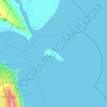
Name: Failaka topographic map, elevation, terrain.
Location: Failaka, Kuwait City, Al Asimah, Kuwait (29.12012 48.01545 29.76012 48.65545)
Average elevation: 4 m
Minimum elevation: -4 m
Maximum elevation: 115 m
Other topographic maps
Click on a map to view its topography, its elevation and its terrain.
Al-Shaheed Park
Kuwait > Al Asimah > Kuwait City
Al-Shaheed Park, Mansouriya, Kuwait City, Al Asimah, Kuwait
Average elevation: 10 m